Águilas
Info Aguilas
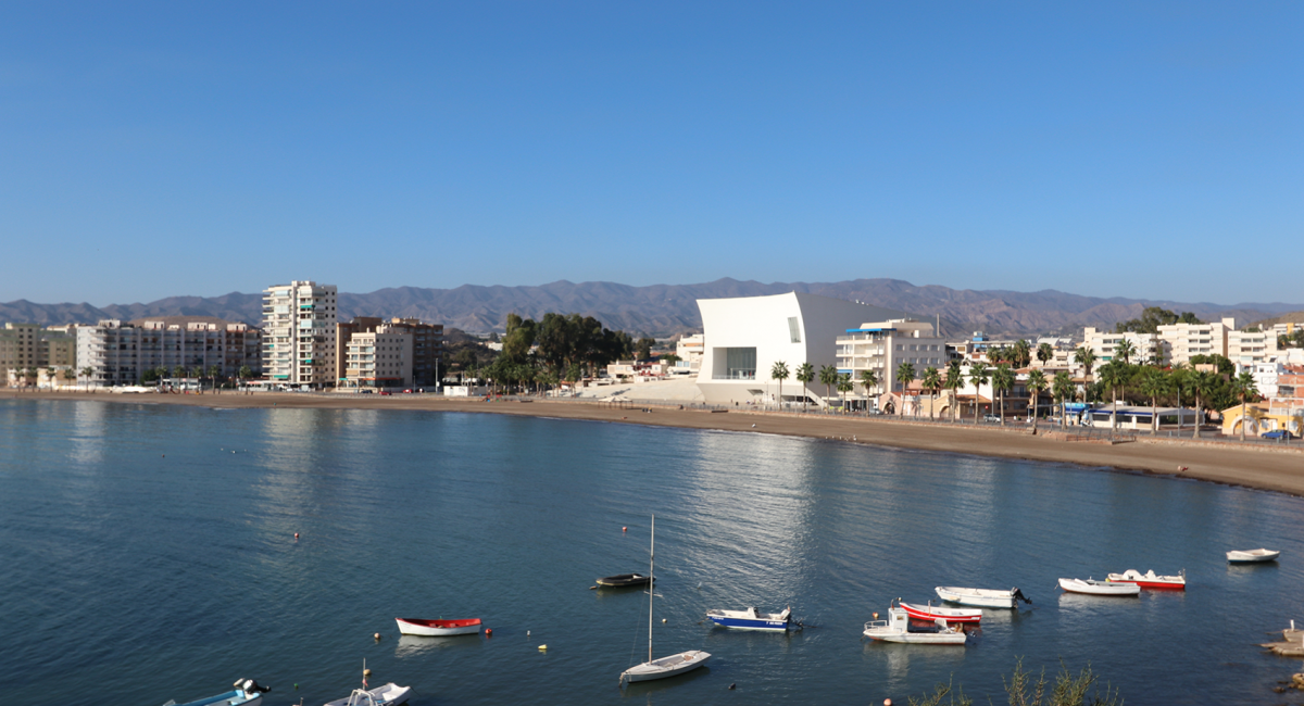
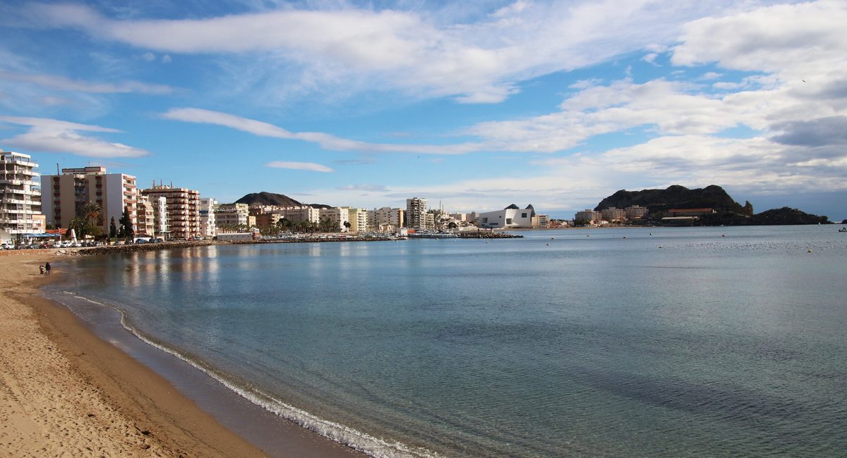
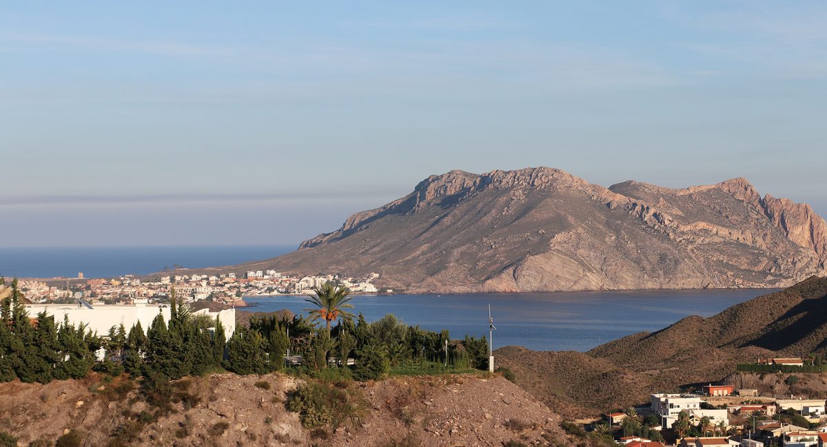
Águilas is a delightful seaport of southeastern Spain, in the province of Murcia. It is situated at the southern end of Murcia’s Mediterranean coastline, known as the Costa Cálida.
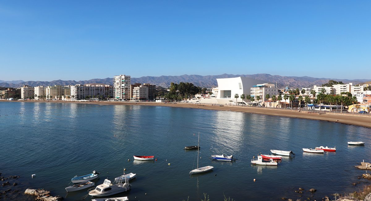
A tradition of seafaring now combines with a wide range of tourist facilities, making the most of one of its main attractions.
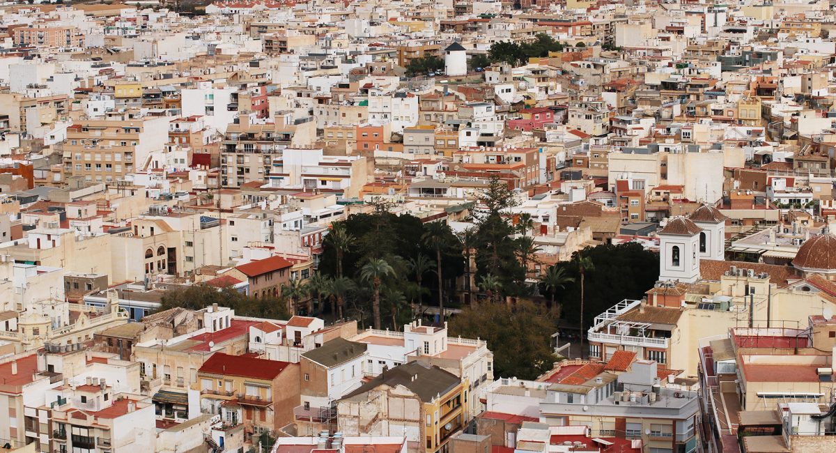
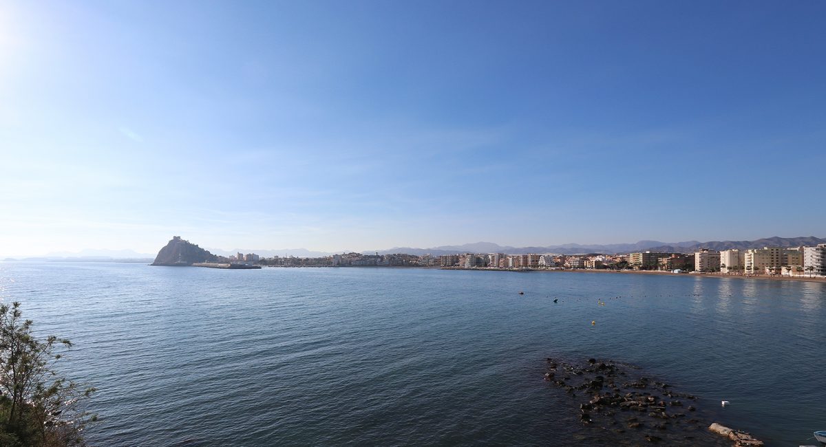
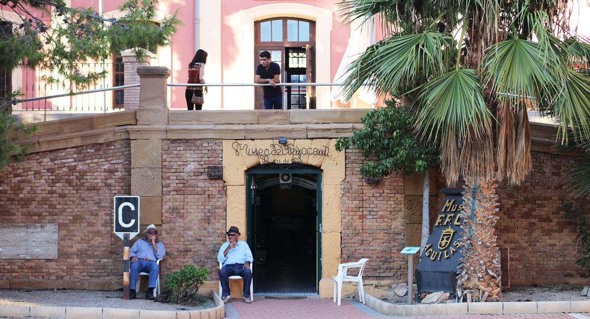
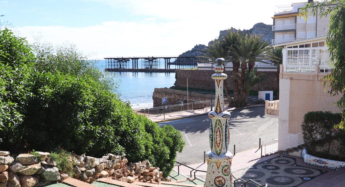
Plaza de España’s beautiful gardens full of rubber plants, the City Hall (19th century), and the parish church of San José, where the image of the patron saint is housed. At the top of the old town, standing on a promontory, is the castle-fortress of San Juan de Águilas, built in 1579 for purposes of defence. Below it sits the port and its characteristic black-and-white striped lighthouse, in operation since the mid-19th century. The town’s Food Market and the railway monument are other places of interest.
The municipality has an area of approximately 253.7 km², with some 28 km of coastline. It is 105 km from the provincial capital, Murcia.
Águilas is built on the landward side of a small peninsula, between two bays—the Puerto Poniente, a good harbour, on the south-west, and the Puerto Levante, which is somewhat dangerous to shipping in rough weather, on the north-east.
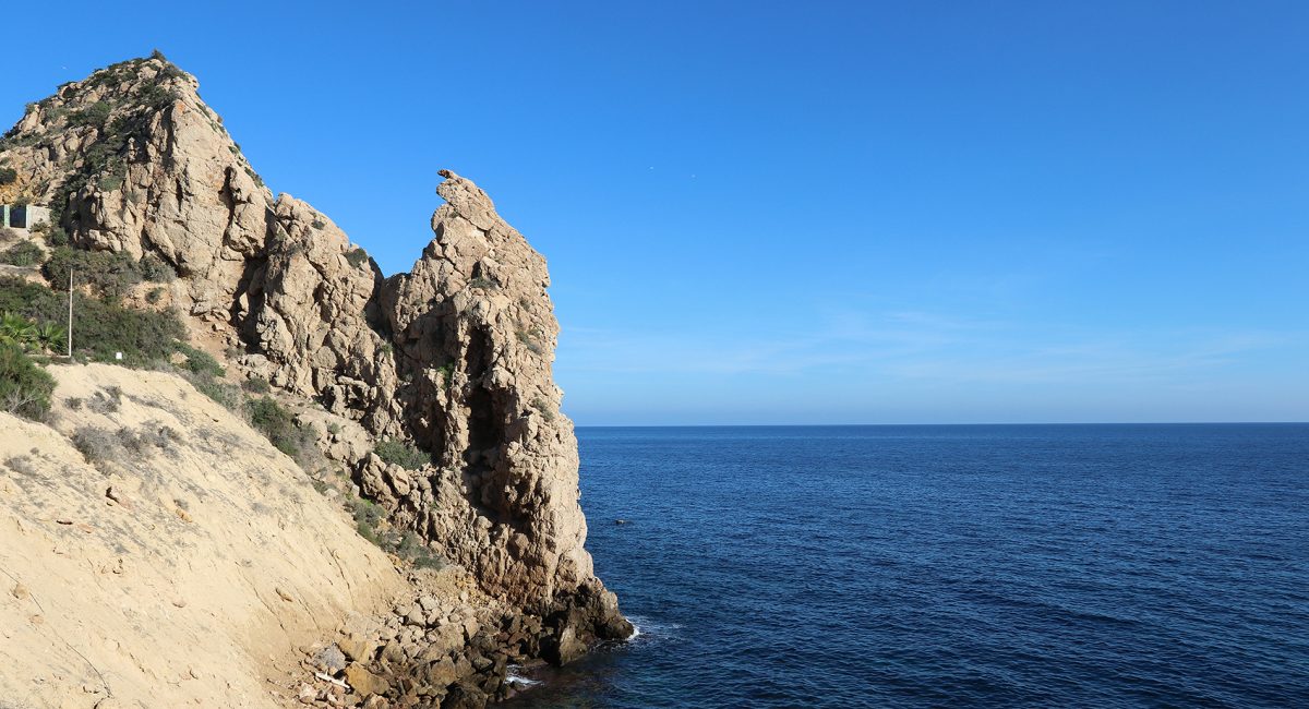
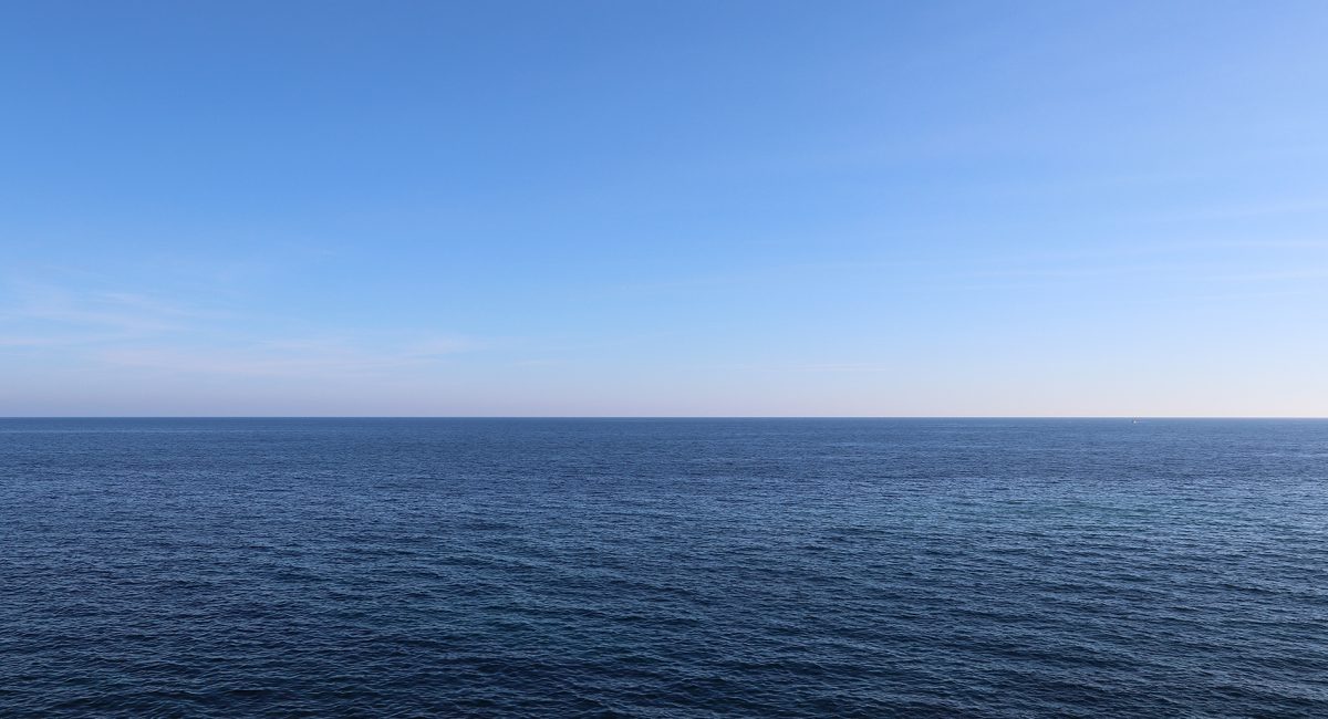
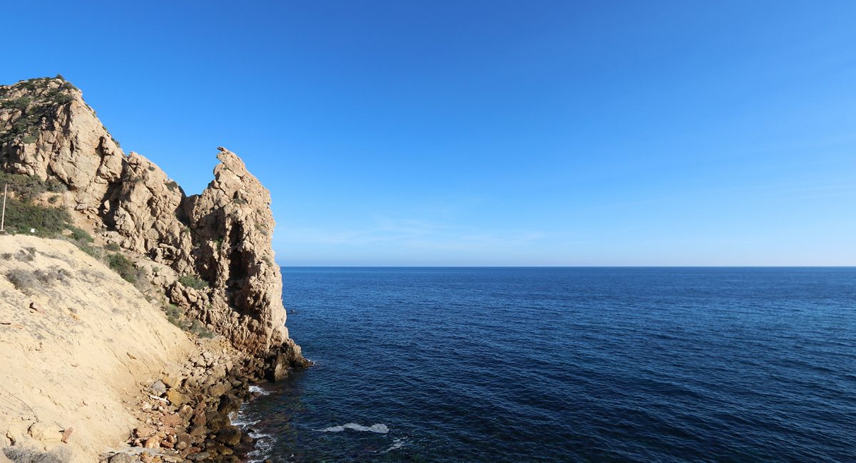
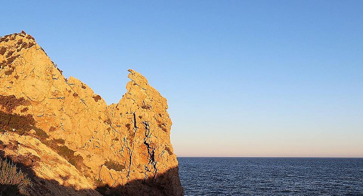
Solitary coves and beaches with crystal-clear water, such as La Higuerica, La Carolina or Calabardina; urban beaches, such as Las Delicias; and one of the best areas on the Mediterranean coast for scuba diving, thanks to some excellent rocky sea beds, above all on Fraile island and in the area around the rock of Cape Cope. The area around Águilas has other places of striking beauty, such as the Cuatro Calas Protection Area (four beaches and a fascinating array of flora and fauna on a short coastal walk in Águilas)
Águilas houses numerous beaches, including Cala de la Cueva de las Palomas, Cala de la Herradura, Playa Amarilla, Playa de Calabardina, Playa de Los Cocedores, Playa de Cope, Playa de la Cañada del Negro, Playa de la Casica Verde, Playa de la Cola, Playa de la Colonia, Playa de la Galera, Playa de la Higuerica, Playa de la Rambla Elena, Playa de las Pulgas, Playa de Poniente, Playa del Arroz, Playa del Barranco de la Mar, Playa del Pozo de las Huertas, Playa del Pocico del Animal, Playa del Pozo, Playa El Rafal, Playa del Charco, Playa del Sombrerico, Playa Ensenada de la Fuente, Playa de Calabarrilla, Playa El Hornillo, Playa de Las Delicias, Playa de Levante, Playa del Matalentisco, Playa La Tortuga, Playa de Calarreona, Playa La Carolina and Playa del Pino.
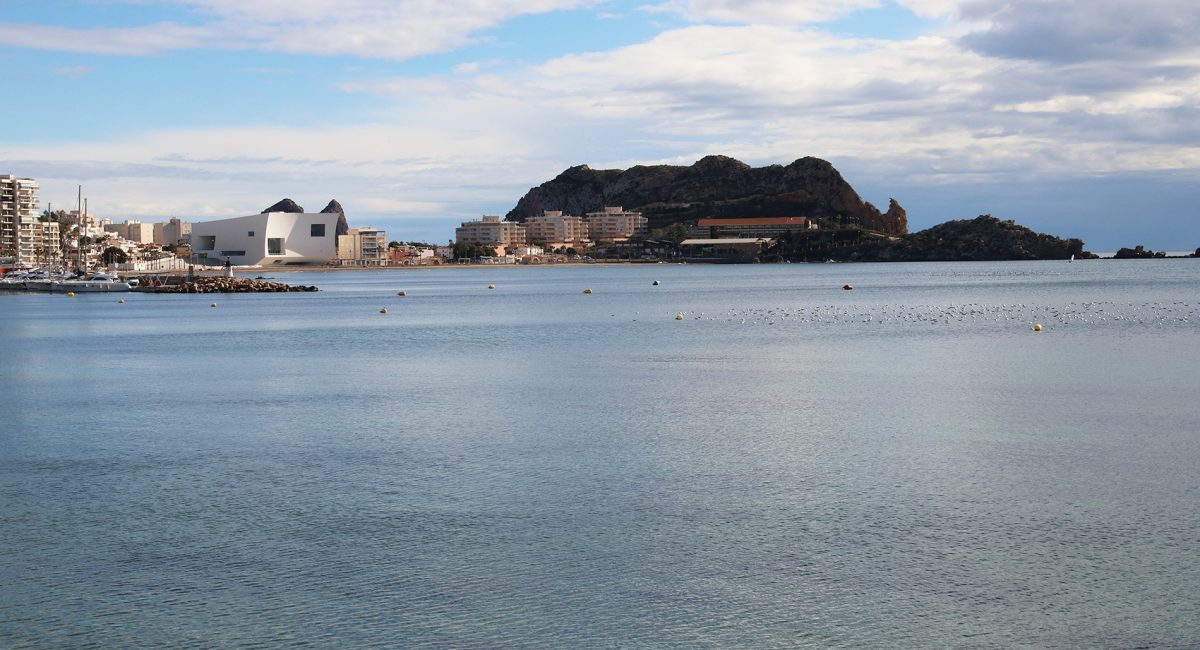
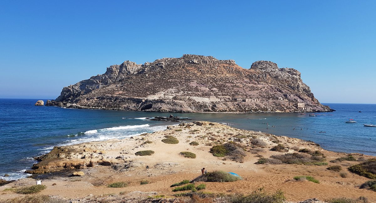
Three kilometres northeast of Aguilas is la Isla del Fraile (Monk Island), so named thanks to the similarity of the island’s silhouette to a monk’s hood. The island has a small rocky beach and a very steep geography. The island was inhabited by the Romans, who used it to export fish byproducts to Rome in amphorae. The remains of a Roman wall are still visible, as are a couple of structures of the early 20th century built by an eccentric British lord who lived on the island and used it for contraband purposes. The Isla del Freile is the closest urbanization to Villa Marina in Los Collados.
History of Aguilas
Known in Roman times as Aquilae and later Aquila, Águilas belonged to the community of Bastetania and the province of Tarraconense. Various civilisations settled in Águilas, including the Alans, the Suebi and the Visigoths. It formed part of Spanish Carthage until the Arab invasion of the Iberian Peninsula. It has belonged to the Córdoban caliphate and the Kingdom of Valencia, later coming under Almoravidan control and finally ending up definitively included in the Kingdom of Murcia in the 18th century. The extensive coastline in and around Águilas, was established in more modern times during the Enlightenment, when in 1785 it began to operate as a port of exit for the produce of the Murcia region’s fertile fields.
During the second half of the 19th century, a vast British colony arrived at the town, a definite presence of which still remains in Águilas. In the 19th century it became a major mining enclave, a reminder of which times is the Hornillo Pier, where iron, lead and silver from the nearby mines were loaded onto ships.
Many of their diverse buildings and infrastructure still stand, such as the British cemetery, the municipal annexe, the Hornillo Pier, facing the Isle of Fraile, and the old house of an English merchant, situated on that island.
The town as it is now was designed by Charles III (King of Spain 1759–1788) in the 18th century.
Of particular note is the Castle of Saint John of Águilas, which was used as a defence tower by various civilisations who settled there throughout history.
The city was extended by the construction of its sister port, maritime walks and its bays of Levante and Poniente. At the end stands the slender figure of the Chimenea de la Loma (Chimney on the Hill), a symbol of the mineral boom of the last century. During the Restoration, owing to the great investment by the British, a route was laid between Lorca, Baza and Águilas in order to transport esparto(a fibre, produced from two species of perennial grasses of north Africa and southern Europe. It is used for crafts, such as cords, basketry, and espadrilles) or the other exported minerals, making the town one of the principal ports of the Mediterranean. It is in this period that the Hornillo Pier, a great architectural work of the time made of iron and concrete, was constructed.